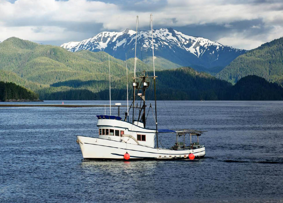
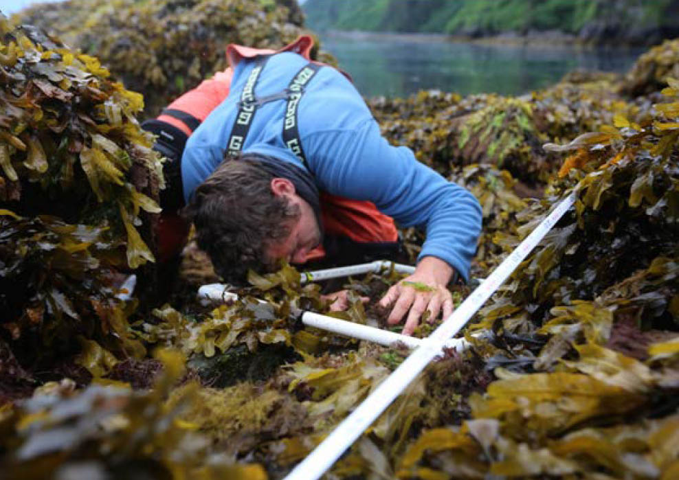
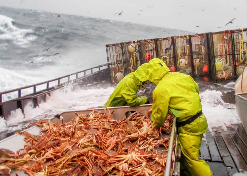
AOOS works with agencies and other organizations to provide coastal and ocean data and information products to the public through collaborative networks and our online Ocean Data Explorer portal. Explore select portal highlights below.
Recent News
Now available: 2024 planned research vessel movements in Alaska
The 2024 Planned Research Vessel Movements list is now available on the IARPC Collaborations website.

The IOOS Regional Network urgently needs your support!
More than ever, we need our partners, supporters, and user communities to send a strong message to Congress. Please add your name on one of our sign-on letters (deadline April 10).
AOOS expands Alaska Native representation on board of directors
This year, the Alaska Ocean Observing System is committed to enhancing Alaska Native representation on its board of directors by expanding from one to four seats. The organization is currently reaching out to leaders within Alaska Native Organizations across the state to identify interested entities.
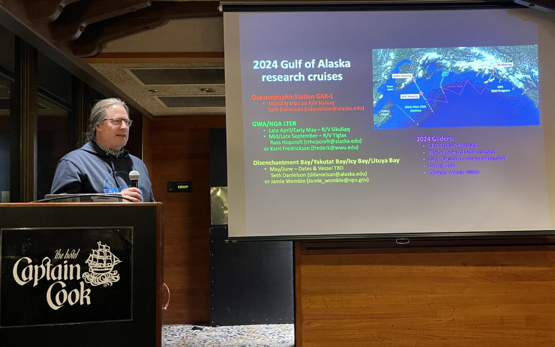
Scientists share upcoming plans at Alaska Marine Research Night
AOOS hosted the Alaska Marine Research Planning Night at the 2024 Alaska Marine Science Symposium (AMSS). This fun and collaborative event provides an opportunity for marine researchers working across Alaska to share information on their upcoming field season for networking and collaboration.